 "Jake - Has Bad Luck So You Don't Have To" (murdersofa)
10/11/2018 at 11:03 • Filed to: None
 2
2
 8
8|
"Jake - Has Bad Luck So You Don't Have To" (murdersofa)
10/11/2018 at 11:03 • Filed to: None | 2
| 8 |
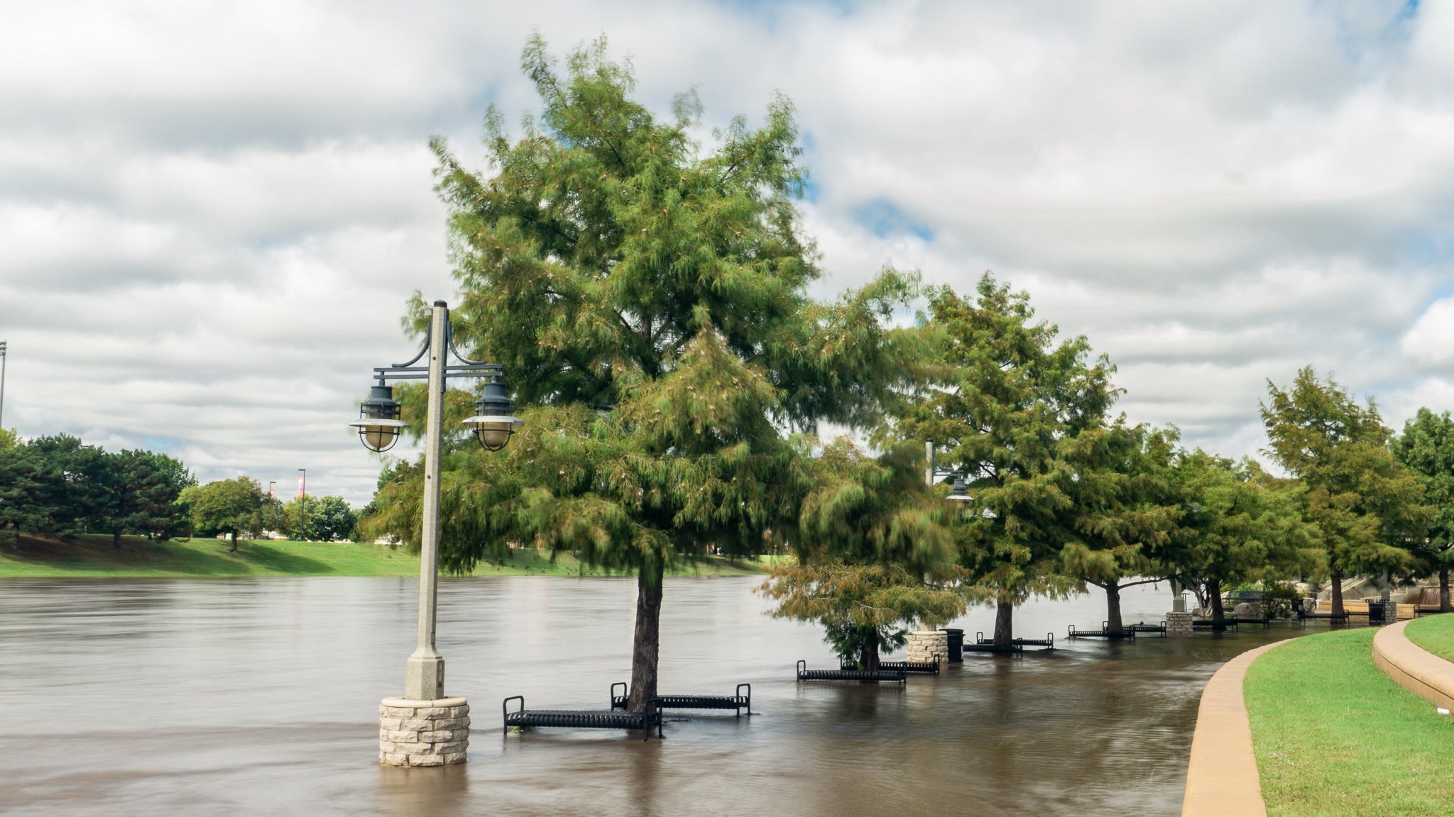
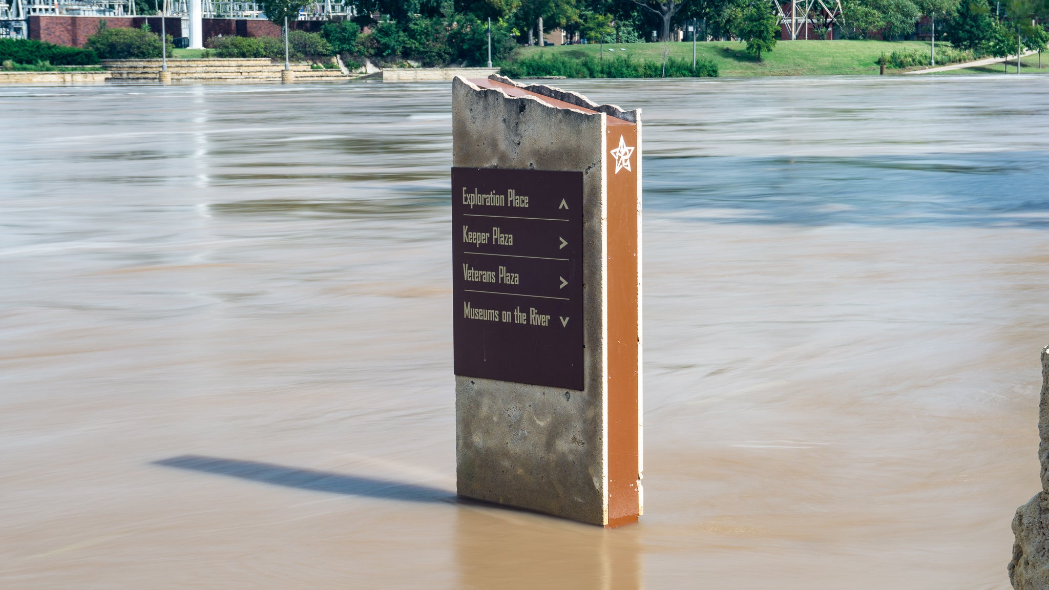
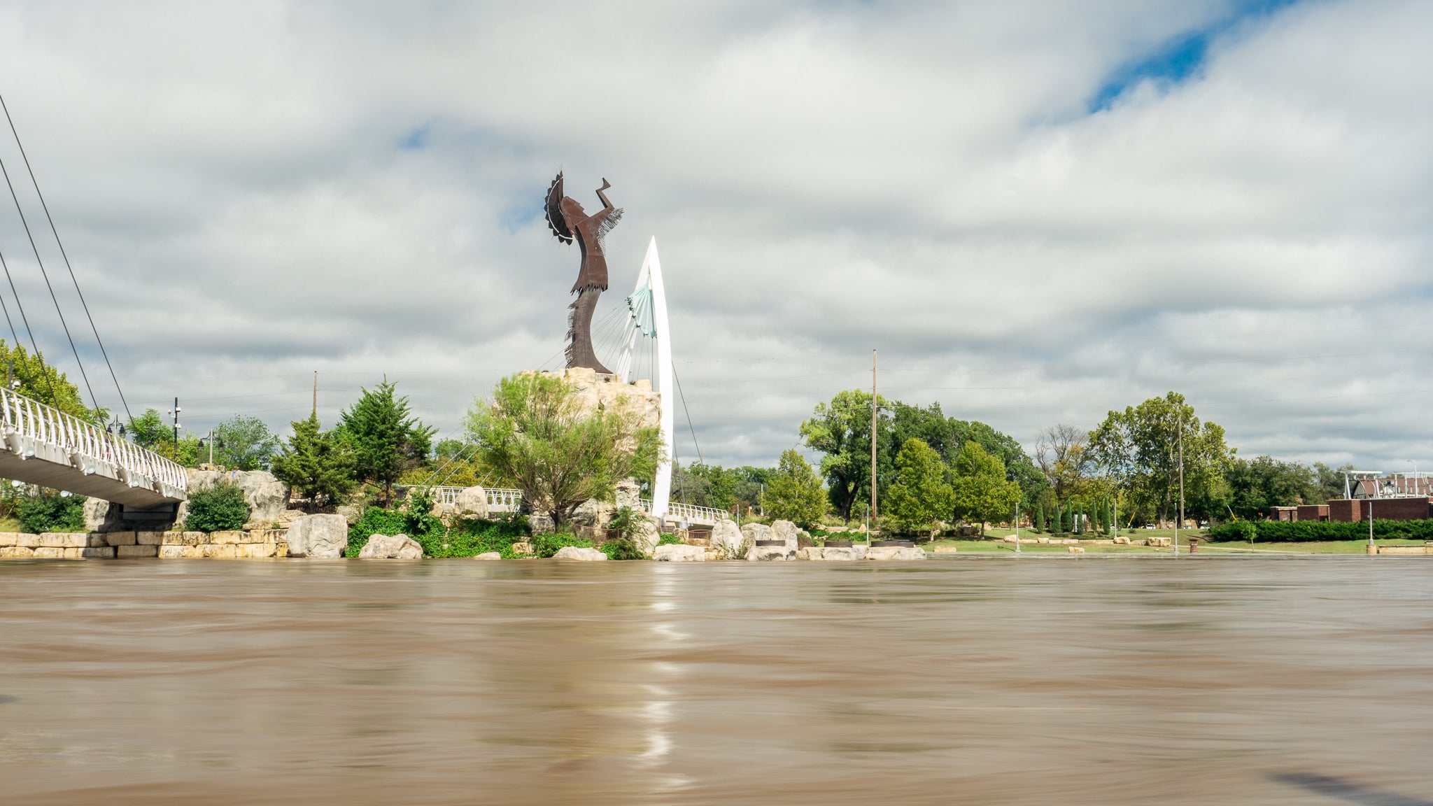
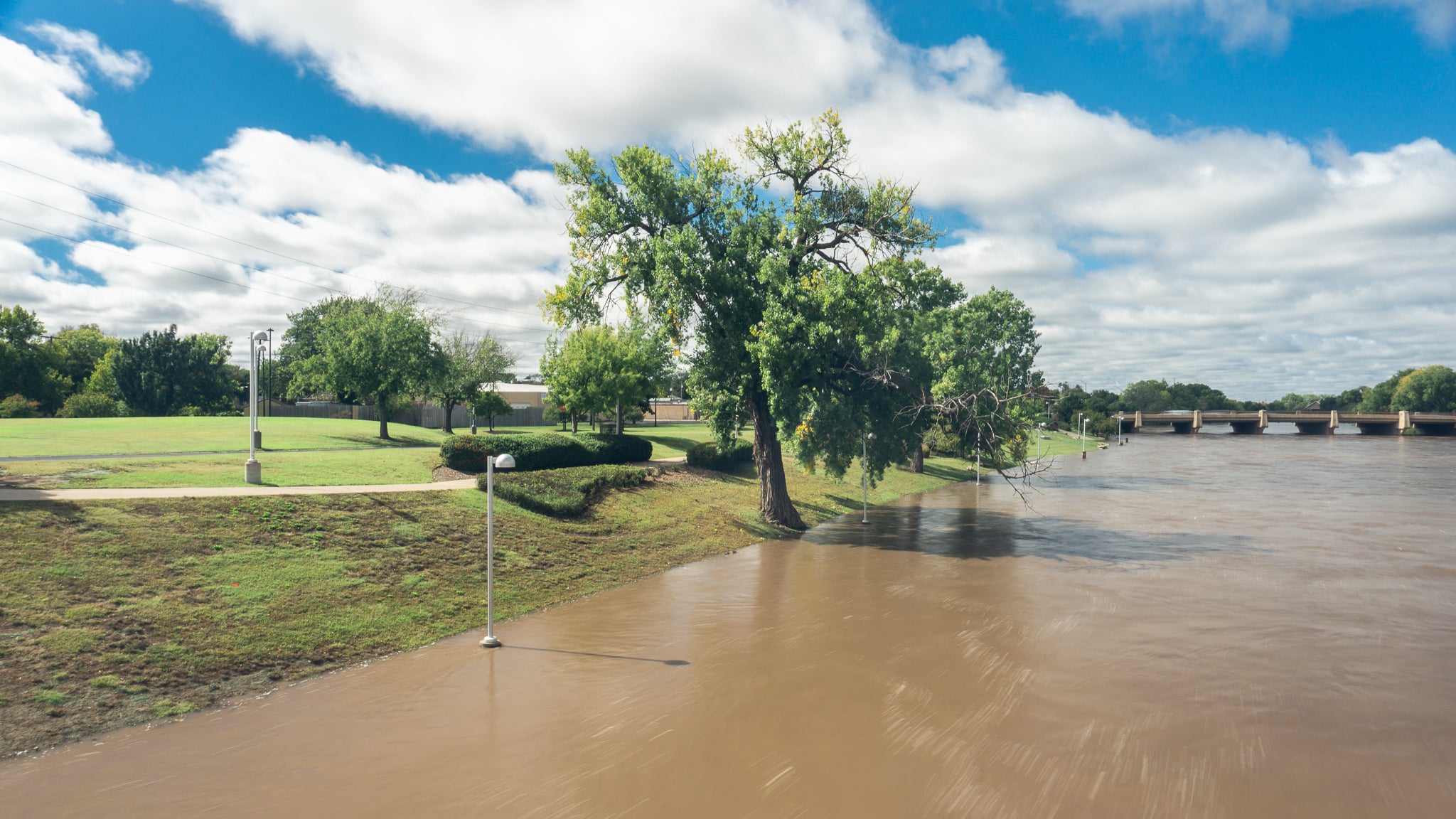
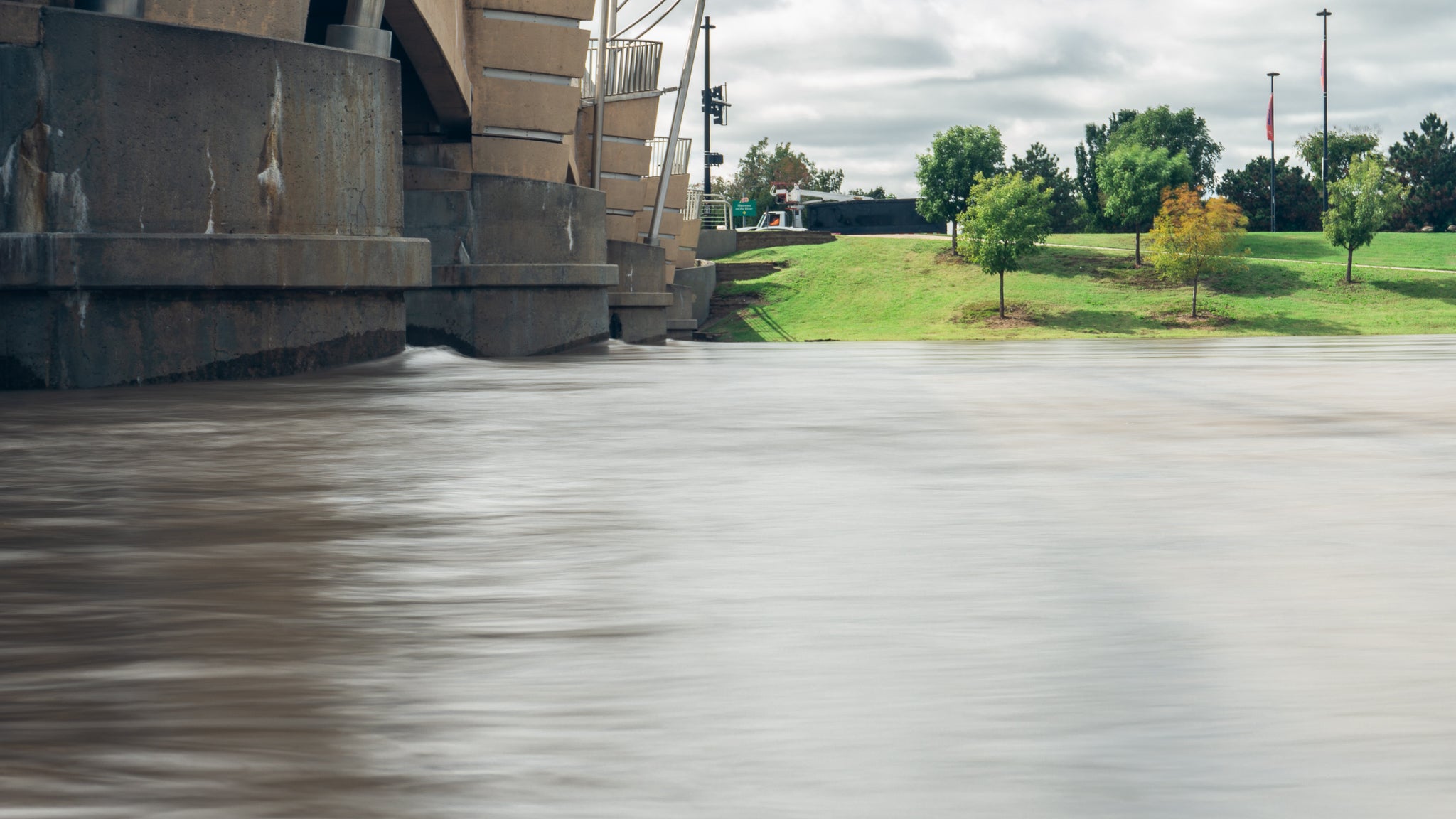
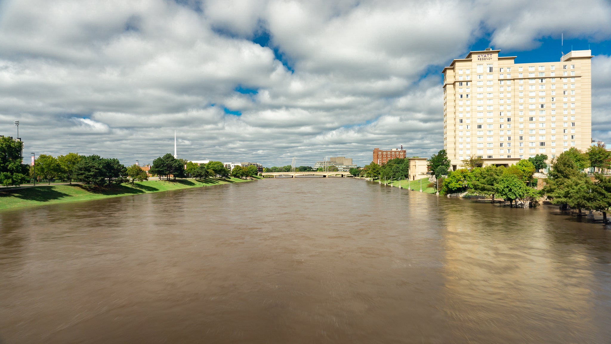
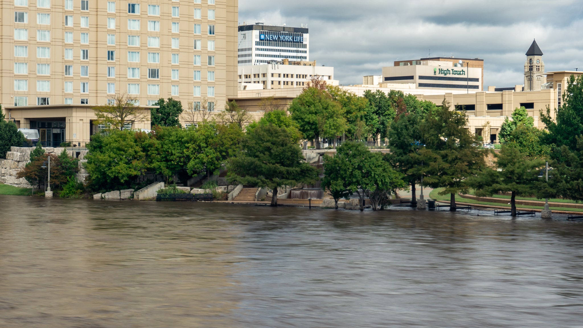
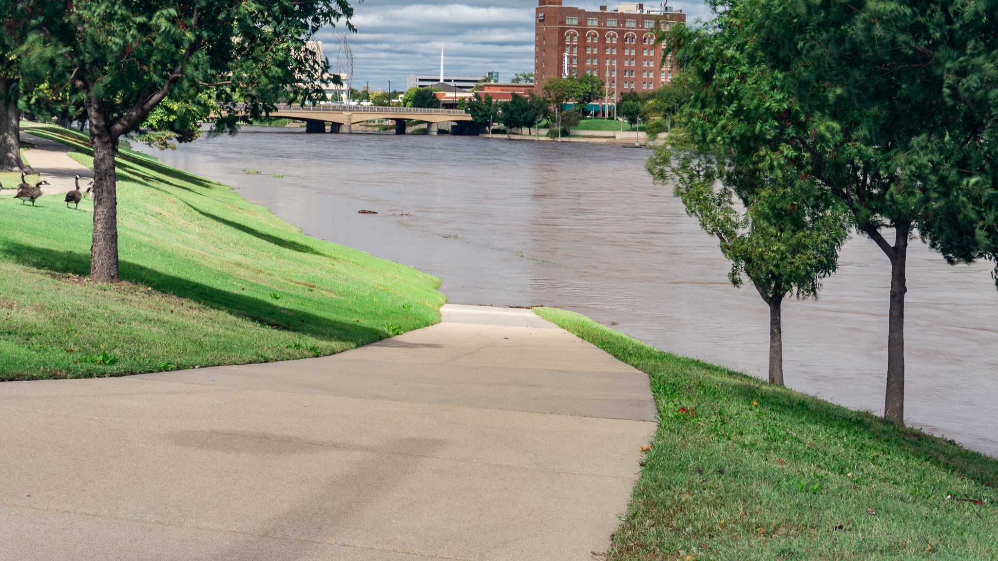
Been raining in Kansas a bit lately. I tossed an ND on the A6000 and took a few snapshots.
 AestheticsInMotion
> Jake - Has Bad Luck So You Don't Have To
AestheticsInMotion
> Jake - Has Bad Luck So You Don't Have To
10/11/2018 at 11:25 |
|
I miss storms
 3point8isgreat
> Jake - Has Bad Luck So You Don't Have To
3point8isgreat
> Jake - Has Bad Luck So You Don't Have To
10/11/2018 at 11:30 |
|
Wow, that’s crazy seeing the water up that high. I remember the path being a few feet above the water normally, although maybe it’s closer than I think. Either way, seeing it covered is kind of weird.
 TheRealBicycleBuck
> 3point8isgreat
TheRealBicycleBuck
> 3point8isgreat
10/11/2018 at 11:57 |
|
That area is a designated floodway. It’s meant to take as much water as possible so that the surrounding areas don’t flood. It’s neat to see it in action.
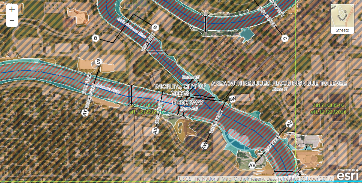
All the areas with red stripes are within the floodway. All the areas with orange/tan stripes would flood if the levees weren’t there.
 Bman76 (hates WS6 hoods, is on his phone and has 4 burners now)
> 3point8isgreat
Bman76 (hates WS6 hoods, is on his phone and has 4 burners now)
> 3point8isgreat
10/11/2018 at 11:58 |
|
It does this every year or two, the parks along the river are designed to flood.
|
Jake - Has Bad Luck So You Don't Have To
> Bman76 (hates WS6 hoods, is on his phone and has 4 burners now)
10/11/2018 at 15:31 |
|
Neat to see it in action though.
|
3point8isgreat
> TheRealBicycleBuck
10/11/2018 at 15:35 |
|
Seeing that map it totally makes sense. Never really thought about it a lot when I was there in person though.
|
3point8isgreat
> Bman76 (hates WS6 hoods, is on his phone and has 4 burners now)
10/11/2018 at 15:36 |
|
Now that I think about it, that sounds familiar. Growing up my family almost never left the west side at all, so I rarely ever encountered it.
|
Bman76 (hates WS6 hoods, is on his phone and has 4 burners now)
> 3point8isgreat
10/11/2018 at 17:29 |
|
I mean, it was all done as part of the redesign/master plan that went with the construction of Exploration Place. It was a pretty boring floodway path until then.